Butte 100 Course Details
104.1 miles; ~16,600 ft. elevation gain; 9 aid stations
View interactive course map and elevation profile
Overview
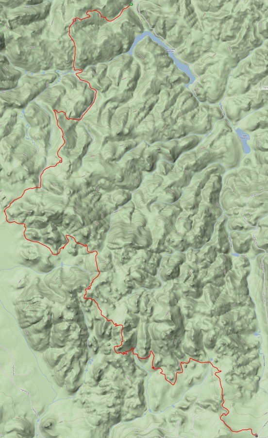
The Butte 100 consists of two laps of the 50 mile course.
All three races will begin with the 4.8-mile "start loop". From there, the 100 and 50 mile courses will follow the same route.
After crossing back through the Start/Finish area and going through the Homestake aid station, riders will turn left and head back out for a second lap on the south loop.
Start Loop
4.8 miles; 551 ft. elevation gain; 4.8 mi. cumulative

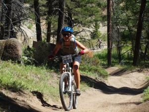
Start loop on sandy double track meant to spread racers out for safety reasons
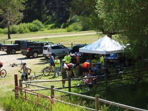
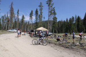
Homestake to AS #1/6 (Thompson Park)
8 miles; +1,563 ft.; 12.8 mi. cumulative

Racers will pass by the starting area. This is not meant to be an aid station but can if problems exist
Black Tail descent immediately follows start loop; single and double track, quite technical,with a bottle neck
Short ride on an asphalt connection, through a housing division to Black Tail Trailhead; 3 mi. climb and 3 mile descent to Hwy 2 crossing and Thompson Park area
Aid Station #1/6 to #2/7 (Basin Creek)
8.7 miles; +1,192 ft.; 21.5 mi. cumulative

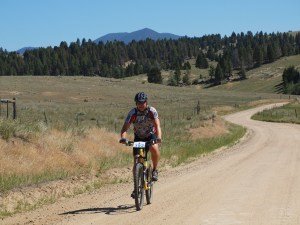
Granitic to hard pack on climb, loose dirt to sand graduating to gravel road on descent
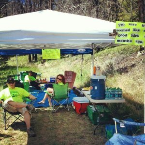
~3 mile climb to the chimney trail landmark. ~3 mile descent from single track to road- (watch for wash-outs) trail graduates to dual track, established double track, then gravel road into Basin Creek Aid station #8
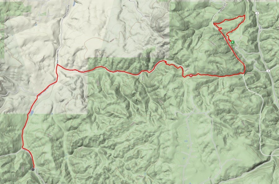
Aid Station #2/7 to #3/8 (Highlands)
12.5 miles; +2,593 ft.; 34 mi. cumulative

Sandy, loose, ugly ~6 mile Basin Creek Climb
Join the CDT about 4 miles in- better trail conditions, epic flowy 4 miles on arguably the best section on the course.

Aid Station #3/8 to #4/9 (Hwy 2)
11.5 miles; +1,266 ft.; 45.5 mi. cumulative


Endless amount of packed CDT singletrack.
Section of trail know locally as “the 8 miles of hell”
3 steady climbs and descents all hovering around 8,000 feet of elevation.
Nice long descent to the Highway 2 aid station.
Those pulling in after 7:00 p.m. will not be allowed to continue, no exceptions.

Aid Station #4/9 to Homestake (AS #5/Finish)
9.1 miles; +1,344 ft.; 54.6 mi. cumulative


~3 mile climb out of A.S.
~4 miles on popular trail section, weaving through boulders and catching glimpses of Butte on the way- be aware of other trail users
The trail will wrap around a small rise, go through a gate, and intersect with a road/bridge over interstate. Right Turn to head to Homestake. On lap 1, go through the arch and into the aid station, then head back out, taking a left on the road for your second lap
On lap 2, head straight in to the finish!
